


Seamless Import & Export
Work with any data format and export to any platform. Our comprehensive import/export system supports all major CAD and GIS file formats.
CAD File

Import DXF, DWG, and other CAD formats directly into your mapping projects. Maintain layer structure and precision for professional workflows.
Geospatial Data

Export your maps in industry-standard formats including GeoJSON, KML, and Shapefile. Perfect for GIS software integration and data sharing.
Print-Ready Exports
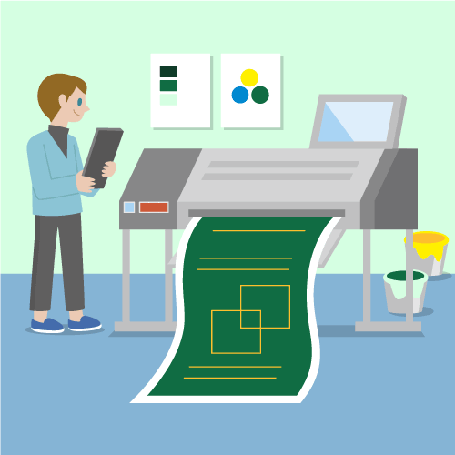
Generate high-quality PDF maps and PNG images optimized for presentations, reports, and professional documentation.
Batch Processing

Process multiple files simultaneously with our batch import/export tools. Save time and maintain consistency across large datasets.