Explore the Map
Mercator Projection
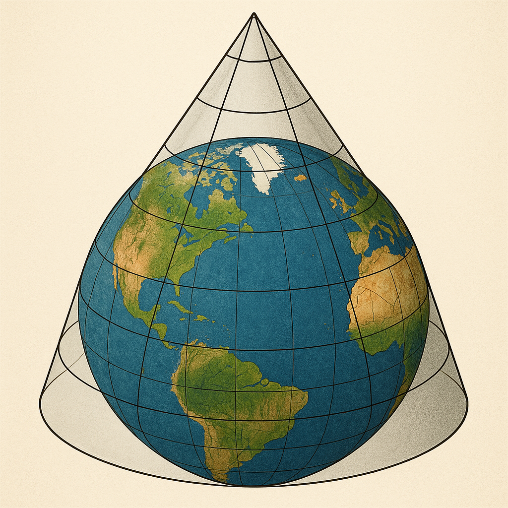
Conic Projection
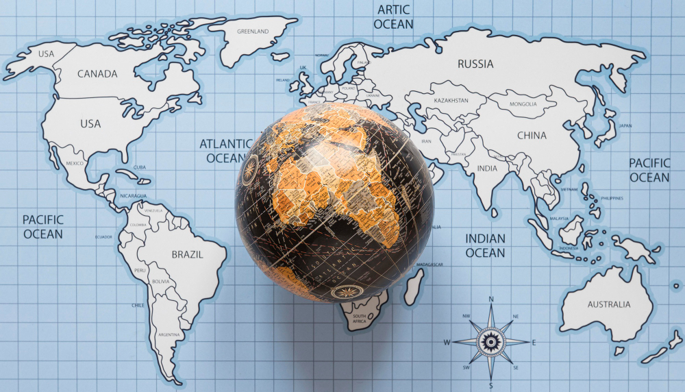
Azimuthal Projection
UTM Zones 31N 32N 33N 34N
WGS84: 40.7128°N
UTM: 33T 315084
Lambert: 652309
Original Projected Distortion Control
Global Coverage: 195+ Countries

Global Projection Systems

Our mapping platform supports the most projection systems of countries around the world. From Mercator to Albers, from UTM to local coordinate systems - we provide accurate spatial representation with minimal distortion for every region on Earth.

Explore Projection Systems

Comprehensive Projection Support

From global web mapping to precision surveying, our platform supports every major projection system. Minimize distortion, maximize accuracy, and ensure your spatial analysis is always precise.

🌐

Cylindrical Projections

Mercator UTM Web Mercator
📊 195+ Countries
Cylindrical Projections

Master the most widely used projection family including Mercator, UTM, and Transverse Mercator. Perfect for navigation, web mapping, and regional analysis with consistent angular relationships.

🗻

Conic Projections

Albers Lambert Equidistant
📊 150+ Regions
Conic Projections

Achieve superior accuracy for mid-latitude regions with Albers, Lambert Conformal Conic, and Equidistant Conic projections. Ideal for national mapping and large-area analysis.

🧭

Azimuthal Projections

Stereographic Orthographic Equidistant
📊 Global Coverage
Azimuthal Projections

Explore polar and hemisphere mapping with Stereographic, Orthographic, and Azimuthal Equidistant projections. Essential for polar research and global perspective analysis.

📍

Local Coordinate Systems

State Plane National Grid Custom
📊 200+ Systems
Local Coordinate Systems

Support for national grids, state plane systems, and custom local projections. Seamlessly integrate local survey data with global coordinate frameworks.

Precision Across All Scales

🎯
Sub-meter Accuracy
Local & Regional Projects
🌍
Continental Coverage
Multi-Zone Seamless
📐
Distortion Control
Optimized for Purpose

Map the World with Precision

Join thousands of professionals who trust our comprehensive projection system support. From local surveys to global analysis, achieve perfect spatial accuracy for every project.

195+
Countries
Supported
500+
Projections
Available
60+
UTM Zones
Complete
99.9%
Accuracy
Guaranteed
🌐
Cylindrical
Mercator, UTM, Transverse Mercator
🗻
Conic
Albers, Lambert Conformal, Equidistant
🧭
Azimuthal
Stereographic, Orthographic, Polar
X Y